Satellite Images
Live geostationary weather satellite views of Southeast Asia
Live Updates
12:00 PM
05:40 PM
Satellite:
05:40 PM
Now:
06:32:49 PM
18 frames available
Cloud Imagery Guide
Thick clouds (rain likely)
Thin clouds
Land areas
Ocean/Water
Image Info
Update Interval:
20 minutes
Coverage:
SE Asia
Last Updated:
03 Aug, 17:40
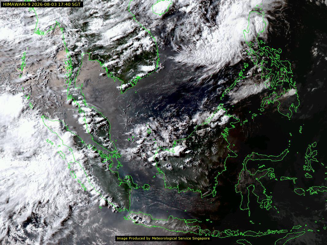
About Satellite Imagery
Geostationary satellite images show real-time cloud patterns and weather systems over Southeast Asia. Images are captured every 20 minutes from a fixed position above the equator.
How to Read:
- Bright white areas indicate thick, tall clouds often associated with thunderstorms and heavy rain
- Gray areas show thinner clouds or haze
- Green tones represent land areas without cloud cover