Rain in Singapore
The radar is the live map. This page is the field guide: which kind of rain you are looking at, and which range to open.
Rain at stations, last hour
No significant rainfall in the last hour
Stations can still miss a narrow cell. Check the radar if the sky is dark.
Three kinds of rain
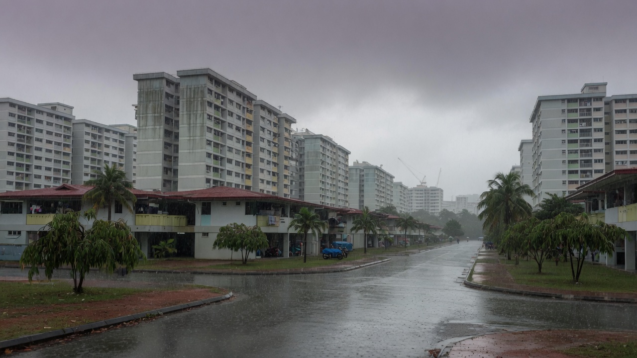
Monsoon surge
December to early March. Hours of moderate to heavy rain, often island-wide. Open the 480 km radar. Flood alerts matter more than a 20-minute wait.
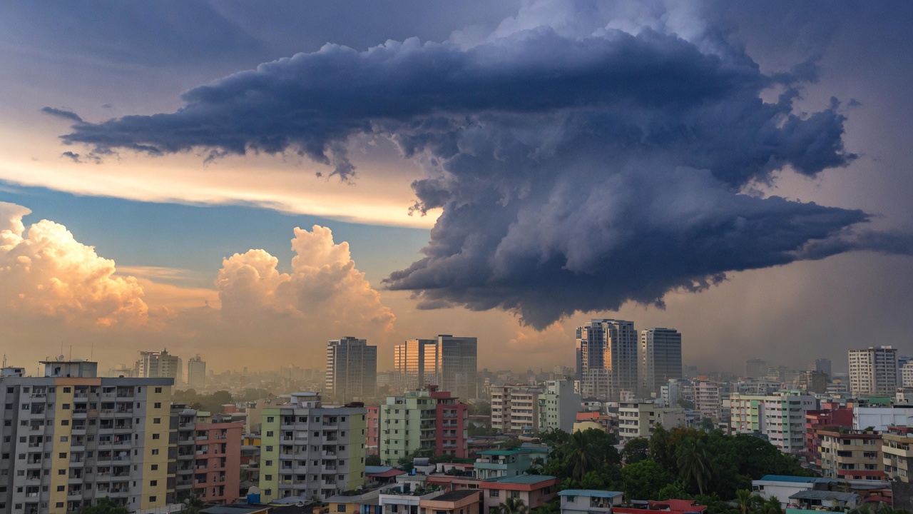
Afternoon thunderstorm
April, May, October, November. Grows in place after lunch. The 50 km radar plus the 2-hour nowcast. Lightning is the stop, not the rain rate.
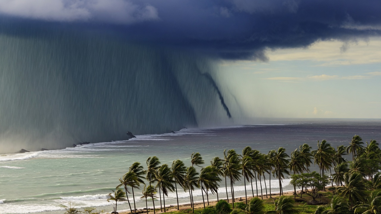
Sumatra squall
June to September, often before 10am. A line from the west. The 240 km radar sees it over the Strait while the island still looks dry.
Which radar range
50 km
Island detail
Frames every 5 minutes. Use this to see which estate is under the cell right now.
240 km
Strait and Sumatra
Frames every 15 minutes. This is the squall view. A line over the Malacca Strait is your warning.
480 km
Monsoon bands
Frames every 30 minutes. Use it for surge rain from the South China Sea, not for a 20-minute shower.
How a Sumatra squall crosses the island
A line of storms that forms over Sumatra, then rides southwest monsoon flow across the Strait. Typical window is 2am to 10am, June to September.
1. Strait
Watch 240 km radar
A solid line west of Tuas is the tell. The 50 km view is still empty at this point.
2. West
Tuas, Jurong, Choa Chu Kang
First landfall. Wind jump, brief heavy rain, then it keeps moving.
3. Central
Bukit Timah, Toa Payoh, City
Often 30 to 60 minutes after the west. Not every line still has punch here.
4. East
Tampines, Bedok, Changi
Last to arrive, often weaker. Some squalls die over the catchment before they get here.