East Singapore
Geylang weather
East-central corridor between the city and the east coast.
How rain usually arrives here
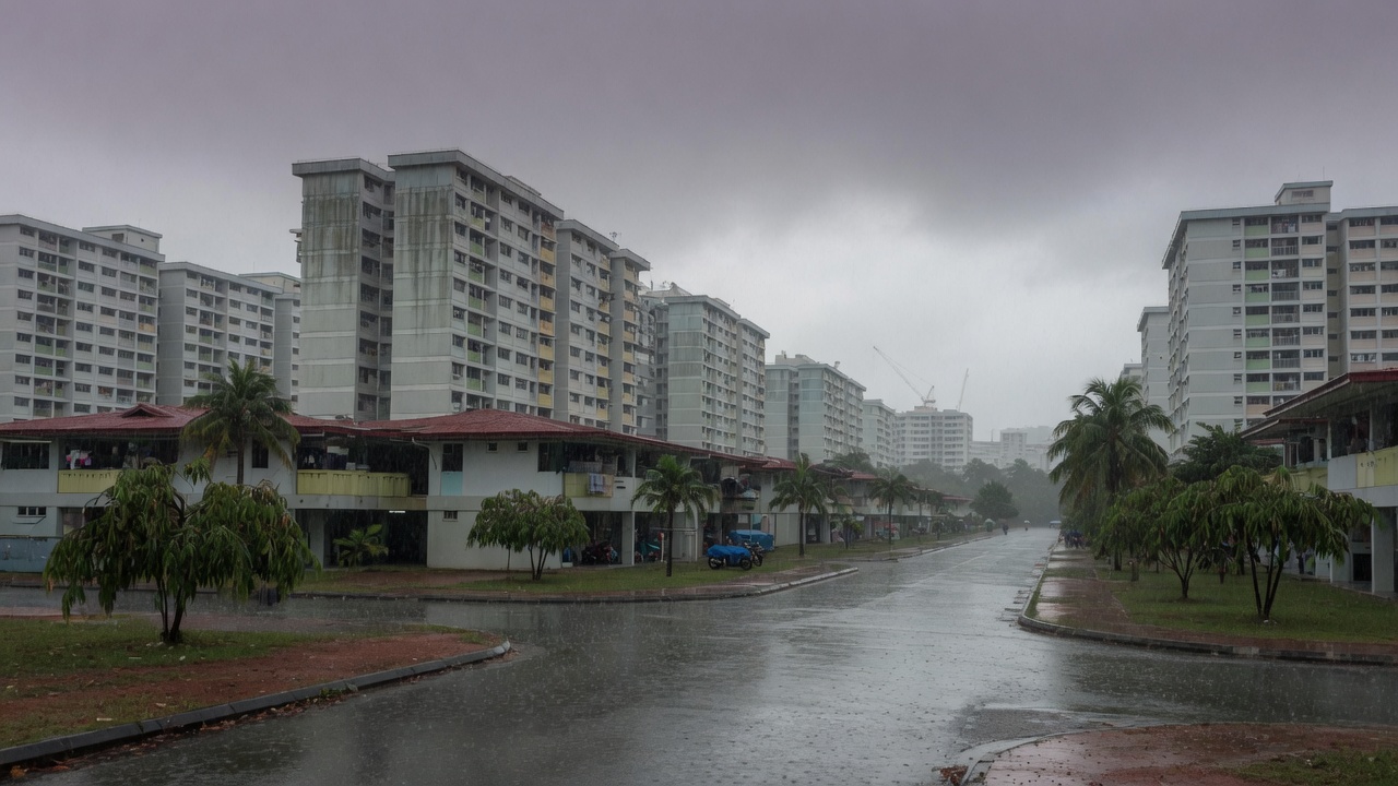
Geylang is a corridor, not a coast. Storms that form over the city or the catchment often pass through on the way to Bedok. It is less exposed to Sumatra squalls than Jurong, and less maritime than Marine Parade.
Use the 50 km radar for afternoon cells drifting east, and the 480 km view in December for surge bands over the South China Sea.
East Singapore
The east coast is the drier side of the long-term rainfall map. Northeast monsoon winds are more obvious here. Squalls that soak Jurong at 6am often arrive weaker, or miss this side entirely.